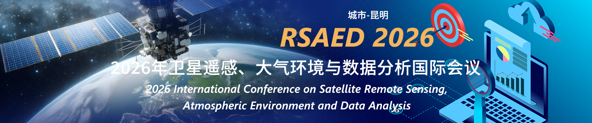
Welcome to RSAED 2025

2025 International Conference on Satellite Remote Sensing, Atmospheric Environment and Data Analysis

Scopes
(The following topics include but are not limited to)
Theme 1. Satellite remote sensing
Remote Sensing (RS)
Geographic Information System (GIS)
Global Navigation Satellite System (GNSS)
Optical/microwave remote sensing
Remote sensing information engineering/Remote sensing model analysis
Classification and data mining technology
Satellite navigation and positioning
Space database/Earth Monitoring and mapping
Remote sensing data fusion/Remote sensing data quality
Hyperspectral image processing
Geographic information science
Mapping Engineering/Space Science and Technology
Theme 2. Atmospheric environment
Mapping, navigation and oblique photography
Remote sensing, optical remote sensing
Geographic information science, image processing
Remote sensing model analysis
Carbon neutrality and remote sensing monitoring of carbon emissions
Geographic information system and navigation and positioning system
Atmospheric environment remote sensing/land environment remote sensing/water environment remote sensing
Vegetation ecological remote sensing/environmental remote sensing technology
Modeling and monitoring of agricultural and natural ecosystems
Environmental monitoring/emergency remote sensing monitoring of environmental disasters
Geographic information system
Remote sensing data fusion/Remote sensing big data
Image-based computer graphics
Optical projection technology/Optical technology and image feature extraction
Image and video analysis
Image and video perception and quality models
Topic 3. Data analysis
Big data analysis
Cartographic theory and application
Climate change and the global environment
Network infrastructure and network geographic information systems
Data models in cartography
Digital site list
Environmental criminology and crime simulation
Environmental hazards and natural disasters
Environmental health, disease and well-being
Lidar technology for generating DEM and 3D modeling
Land use and land cover change
Map generalization
Mobile data collection, management and analysis
Resource and environmental monitoring
Multidimensional (2D, 3D and 4D) spatial data modeling and data quality
New trends in GIS technology and research
Processing and application of high resolution image
Important Dates | 重要日期
  • Submission Deadline: 2025.9.11
  • Registration Deadline: 2025.9.18
  • Conference Date: 2025.9.26
  • Notification Date: About a week after the submission
Submission Portal | 投稿方式

Mail Address:  irbectgom_info@163.com

If you have any question or need any assistance regarding the conference, please feel free to contact our conference specialists:

蒋老师
  • +86-15680824672(微信同号)
  • 3761629232
--
  • +86---(微信同号)
  • --
Indexing Service | 索引服务